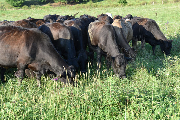
The Muskingum Soil and Water Conservation District (MSWCD) strives to work with all producers of agricultural products to provide technical assistance to apply conservation on their land.
Soil and Water Conservation Districts protect valuable natural resources in a changing landscape.
We provide a variety of a natural resource assistance and services to landowners, homeowners, educators, agricultural producers, developers and communities.
The Muskingum Soil and Water Conservation District (MSWCD) strives to work with all producers of agricultural products to provide technical assistance to apply conservation on their land.
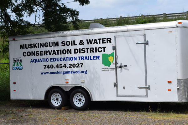
Our education trailer is an 18 foot, walk-through exhibit full of hands-on exhibits where visitors can discover some of the many wonders of aquatic ecosystems.
Find additional information and links to topics involving Invasive Species, Woodlands, Forestry and more.
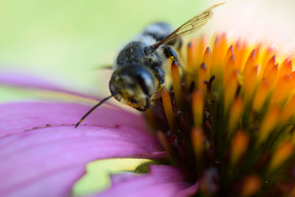
They say one out of every three bites of food are made possible because of pollinators. Pollinators include birds, bees, butterflies, bats, insects, and small mammals.
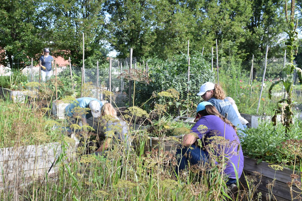
Muskingum SWCD was awarded a $50,000 grant through the NACD’s Urban Agriculture Conservation Grant Initiative in 2016.
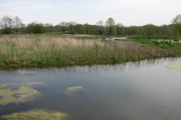
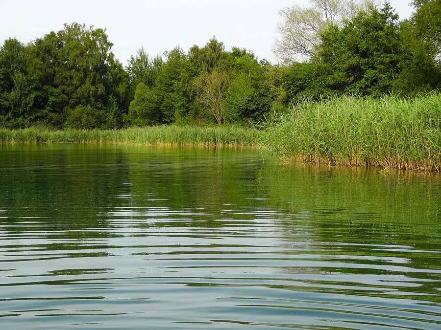
Muskingum SWCD is concerned with the water quality in the county and beyond.
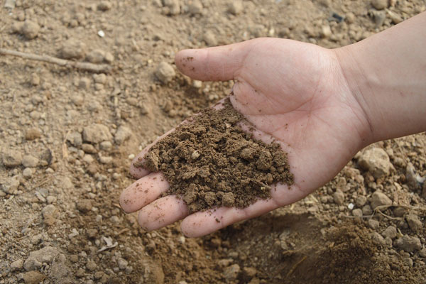
Everything from the ground up starts with soil. We eat food grown in it. We build things on it and build things out of what grows in it. We also eat animals that eat plants that grow in it. Without soil we could not survive.


Kati Delbert ZANESVILLE, Ohio - Voles, insects, and other rodents are some of the leading causes of crop damage. Not only do these creatures cost millions of dollars in crop damage, but they also carry a plethora of diseases that can affect livestock, pets, and even humans. To have a successful crop season, many farmers turn to rodenticides to fix and prevent rodent issues. While these can work and have shown to be successful in some cases, rodenticides can, unfortunately, hurt the surrounding ecosystem and can be costly.
Doreen Maurer ZANESVILLE, Ohio - Is there such a thing as a perfect world? Probably not. Can we help bring the world closer to perfection? Yes, I believe we can. Water is a resource that each of us can learn about to help make the quality of our environment a step closer to perfection. I know it is hard for one person to make a difference, but when we join in our efforts, changes can happen.
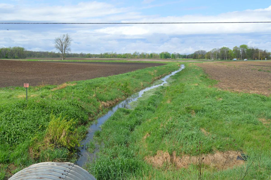
Doreen Maurer ZANESVILLE, Ohio - I mentioned in my last blog that I would do some research on vegetation filter strips and write about them. It was interesting research, and it brought up more questions that needed answered. But first, vegetation filter strips are used to help limit water contamination and erosion. They’re narrow strips of grasses, legumes, and forbs, that slow the flow of stormwater runoff. Slowing the flow of water will allow time for water to be absorbed into the soil to filter naturally, thus reducing water contamination. Another benefit is that covered soil does not wash away, so vegetation filter strips also help reduce erosion.